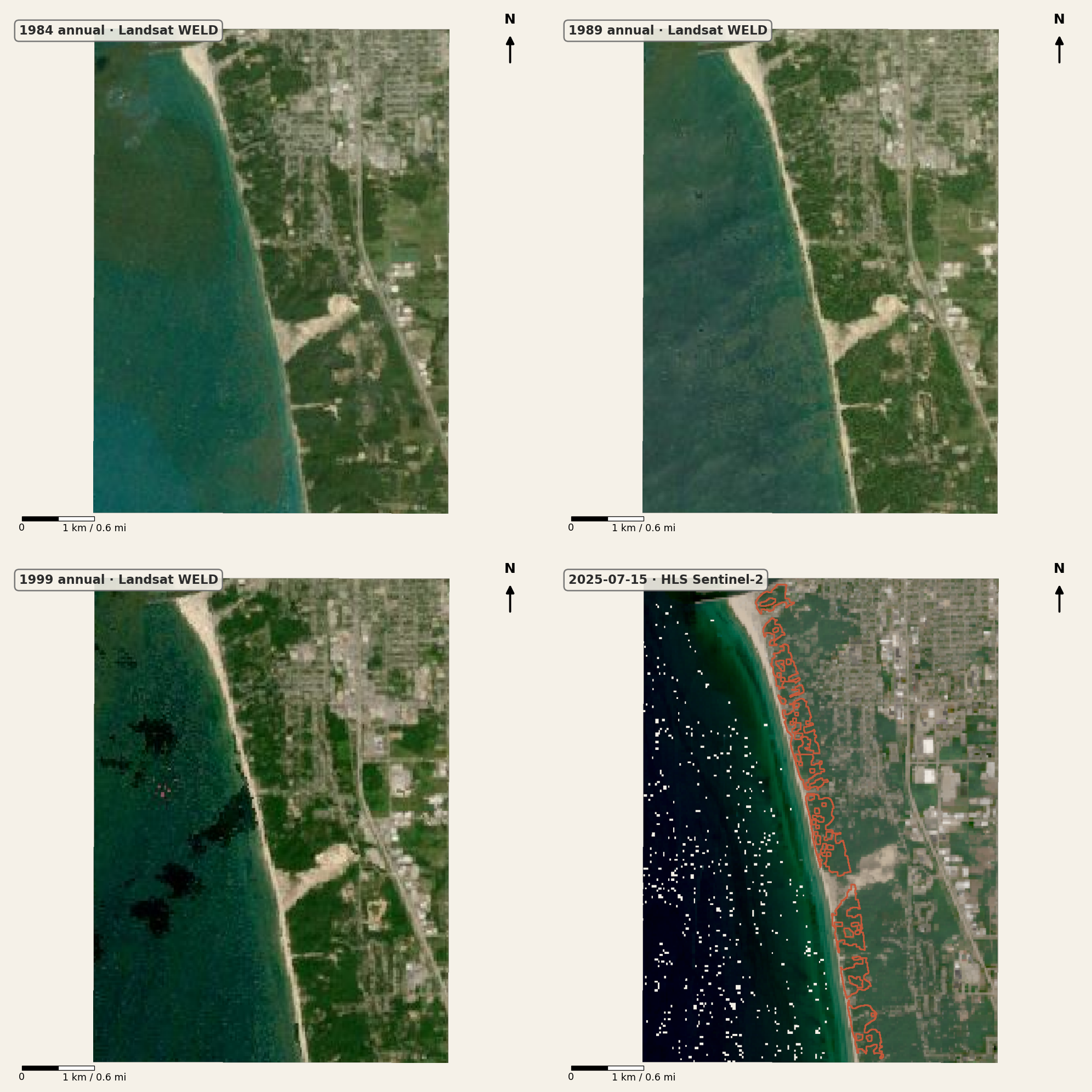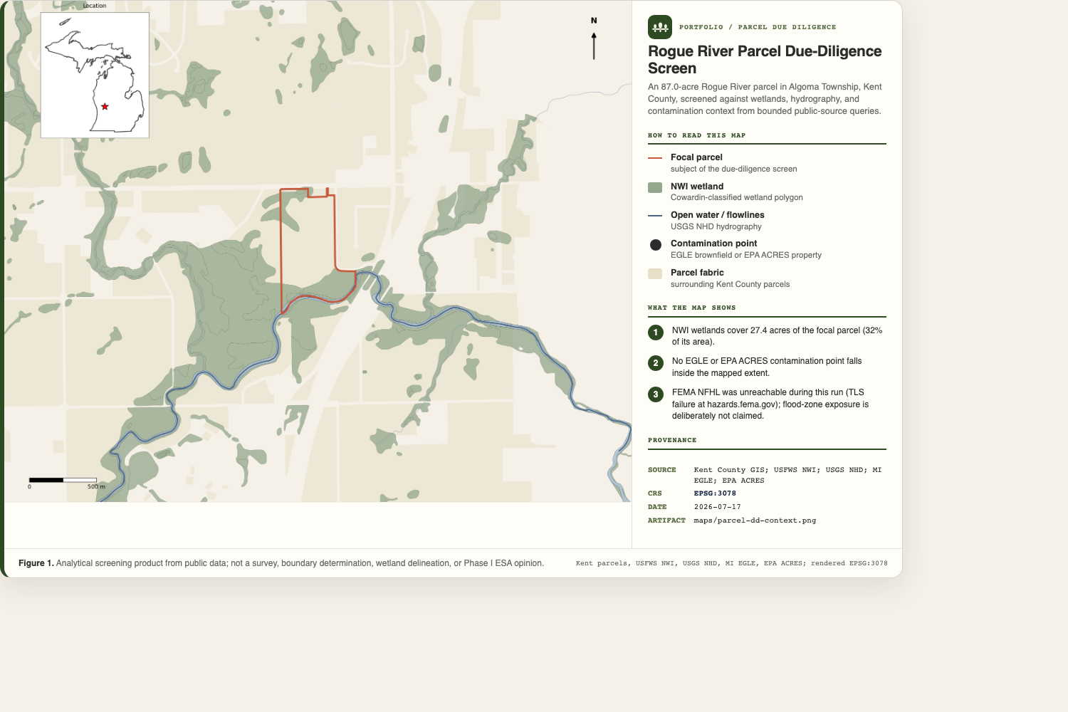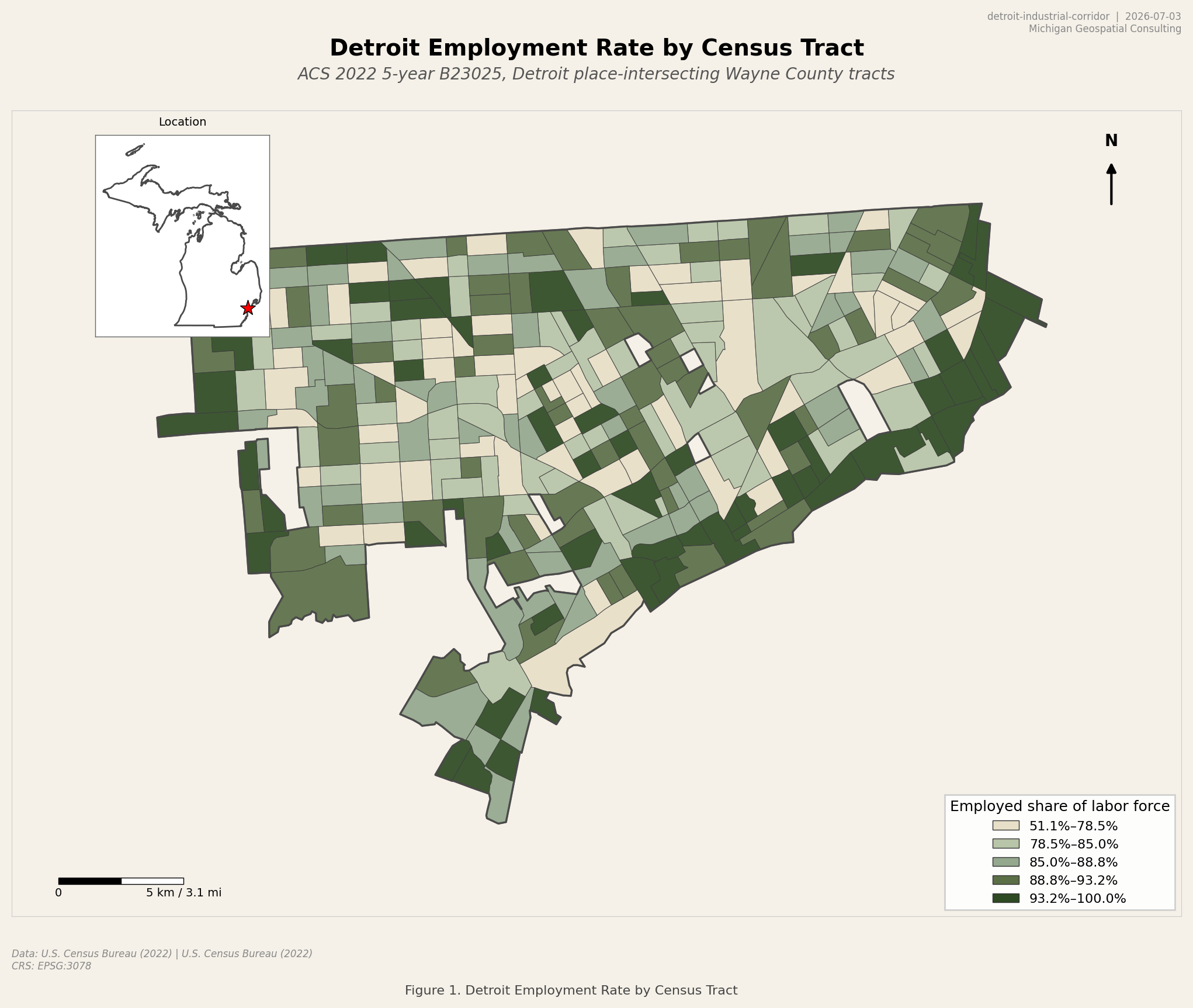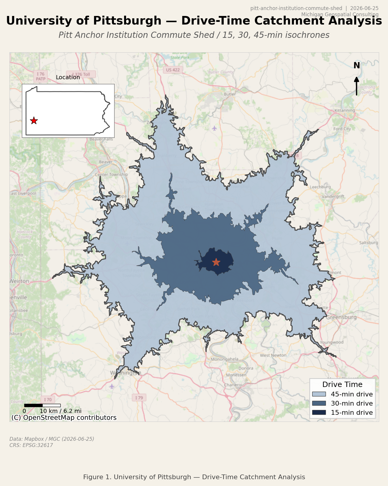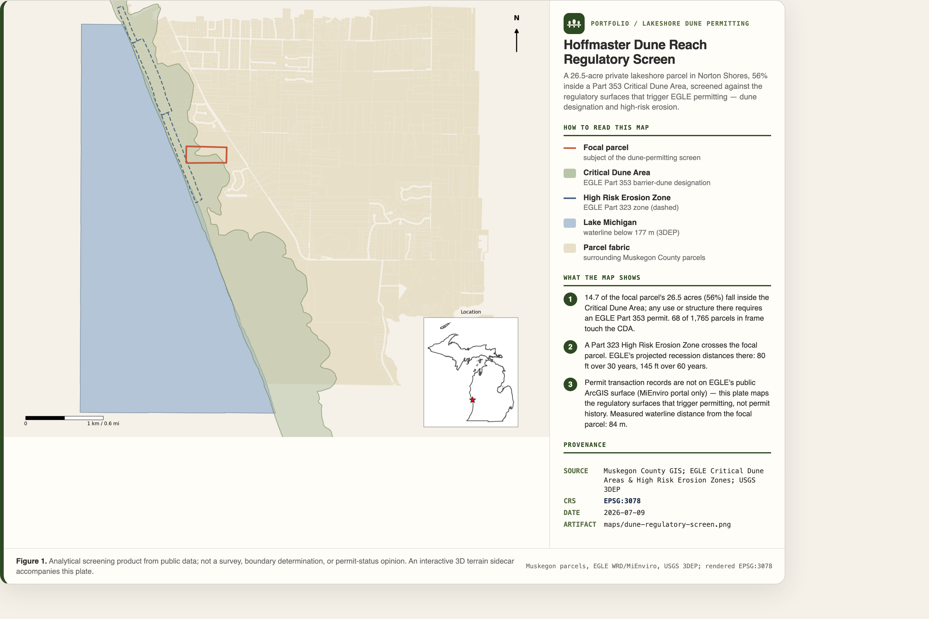
Norton Shores, Michigan
Hoffmaster dune regulatory screen
A public-data screen for a 26.5-acre lakeshore parcel, showing where Critical Dune Area and High Risk Erosion Zone rules trigger a deeper permitting review.
- Method
- Parcel overlay, regulatory-surface intersection, and distance measurement
- Data
- Muskegon County GIS, EGLE Part 353 and Part 323, and USGS 3DEP
- CRS
- EPSG:3078
- Date
- 9 Jul 2026